
Mount Katahdin (2/3)
6 AM, 10/25/2016
Dear Mom and Dad,
Sorry that I didn’t write yesterday, but what an experience we had! The morning started out well. I had a restful, but cold night’s sleep. Hot coffee made on the propane burner was energizing. We cleaned and re-organized the van and we all (van included) felt ready for the day.
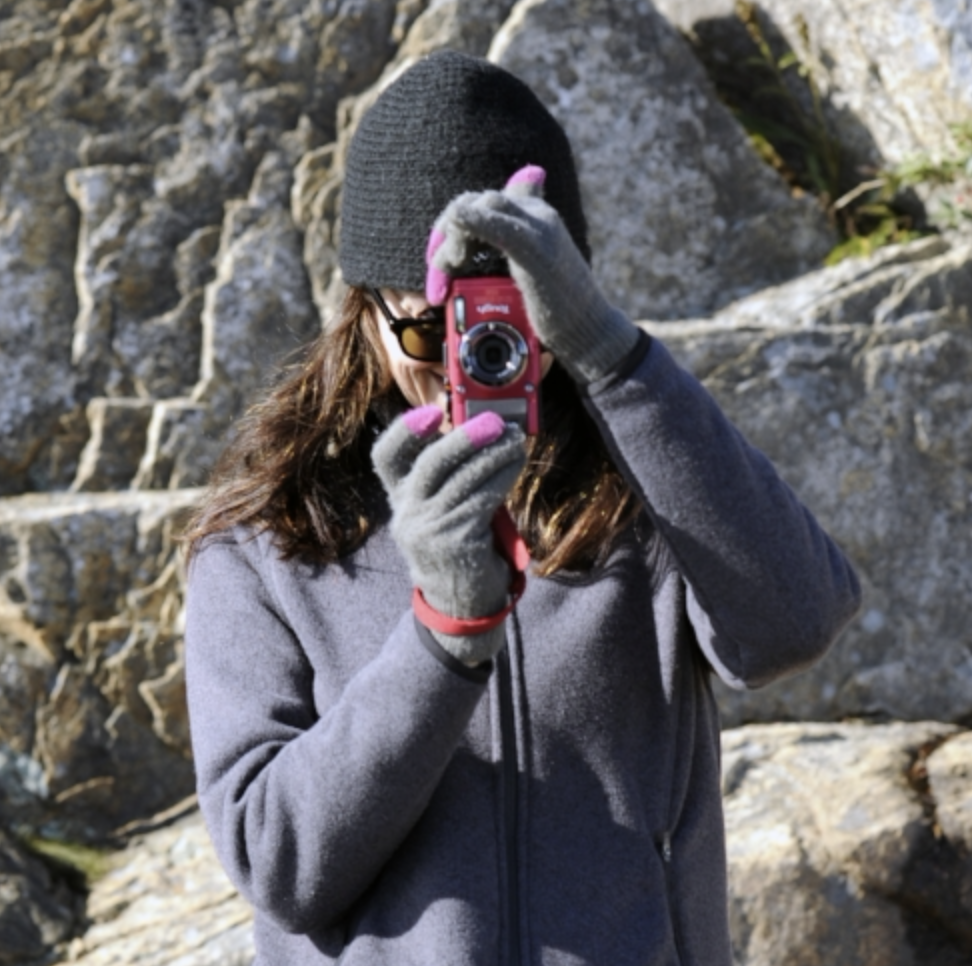
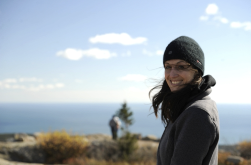
We explored Park Loop Road, which circles the edge of the Acadia National Park island. We parked in the first lot, which was the beginning of the Ocean Drive path. Scenery abounding, we clicked away on our cameras. James expertly focused his professional gear. I clumsily used my compact version, which seemed toy-like next to James’. We drove from the beaches at sea level to the top of Cadillac Mountain at 1500 feet. The views didn’t disappoint.
It is hard to die in Acadia in the gruesome ways you can die at Yosemite or the Grand Canyon. My inner adventurer was disappointed. Acadia is a gentle and accepting park with food, water, shelter, and safety always near.
In the late afternoon, we drove west feeling rested and at peace. Four hours later, we approached Baxter State Park.
Baxter is the location of the famous Mount Katahdin. The top of this mountain is the culmination of the 2190 miles of the Appalachian Trail. Frost Pond Campground, which looked close to Baxter on the map, was our destination. The GPS told us to turn onto a gnarly logging road called Golden Road. James and I looked at each other and I asked, “Is this right?” The GPS’ British voice assured me that it was, so I made the turn.
Soon, we were driving in the (in)famous “100-mile wilderness“. After 20 miles of rippled road through the dense forest, we spotted a tiny sign that said ‘Frost Pond Campground’. There was an arrow to make a right turn. I turned onto (comically named) Main St. For the next three miles, the path became progressively narrower. Branches scraped the sides of the van. James was not-so-secretly wishing the bright green Enterprise logo would scratch off. I drove over a dam with signs that read “Beware! Screaming sirens will sound when the water is at a dangerous level. The water can sweep you away and you will be electrocuted.” Or something similar. As we got further from civilization, I became aware of my heartbeat and my tight grip on the steering wheel. I tried to mentally talk myself down from my heightening anxieties, which had many facets.
1. I was driving a rear-wheel drive RENTAL!!!
2. I remembered seeing a sign in my Appalachian Trail research that read “THERE ARE NO PLACES TO OBTAIN SUPPLIES OR GET HELP UNTIL ABOL BRIDGE 100 MILES NORTH. DO NOT ATTEMPT THIS SECTION UNLESS YOU HAVE A MINIMUM OF 10 DAYS SUPPLIES AND ARE FULLY EQUIPPED. THIS IS THE LONGEST WILDERNESS SECTION OF THE ENTIRE APPALACHIAN TRAIL AND ITS DIFFICULTY SHOULD NOT BE UNDERESTIMATED.” And then a cheery, “GOOD HIKING!”
3. The Blair Witch Project played in my head.
4. There was NO cell service since turning off the pavement.
5. I have never seen this level of darkness without east coast light pollution.
6. What type of man runs a campground this far from civilization and is waiting for us at the end of this road?
Around 8 pm, we came to the end of the road, which opened to a large gravel parking lot with a ramshackle house on one side. On the other side, there was a row of buildings that included a barn, a dilapidated shower room, and an outhouse. There was a smaller dirt road blocked by pylons that lead to the campsites.
The actual address of the camp is T3, R11, Maine. This area is one of the last real wilderness areas on the East Coast. Because of that, they assign addresses by map locations.
I pulled up to the house, as it seemed to be the only source of light. Gene, with whom I had corresponded through email, stuck his head out of the screen door and motioned for us to come in. James went in first and I hurried in behind him to make sure he wouldn’t be murdered. A makeshift check-in desk was set up inside the door in what looked like a mudroom.
Gene was clean-shaven with short grey hair and a friendly smile. He had our paperwork ready. We signed the credit card slip (!!), paid cash for wood and got quarters (!!) for the coin-operated shower(!!). Gene warned us that Baxter State Park might not let us pass into the park with the high top van(!!). He googled (!!) the upper height restriction and informed us it was nine feet. Luckily the van was slightly shorter (!!) than the limit. He explained that we were fortunate that he was too busy (!!) to shut off the shower water this year because usually, he would have winterized the pipes already (!!). They tend to freeze since the shower hut wasn’t heated (!!). He mentioned that no one usually wants to camp at this time of year here (!!), that we were his only campers (!!) and, pray tell, what brought us here? I answered ‘Katahdin, of course’. It was an overload of surprising information. We listened with mouths agape.
Gene gave us directions to our campsite, saying “but you can pick any one of them since there is no one else here”. He followed us in his truck with our firewood a few minutes later. Then, he showed us the outhouse. Despite my fears, Gene was a very kind gentleman. He even set up one of the bunkhouses in case we got too cold. Once Gene left, we sat in the van staring out into the blackness that, with the dawn, would be revealed as Frost Pond. Now that the stress had been somewhat alleviated, I exhaled the breath I was holding. Then, my relieved giggling started and escalated to roaring laughter.
We tried to prepare for the 25 degree night ahead. I got dressed for sleep in the same way that I would for an outdoor winter hike. On top of a few layers of base layer, I donned a down jacket, a balaclava mask, a hat, and gloves. I had a mummy sub-zero sleeping bag, a blanket below me, and two on top of me. The propane heater (sized to heat 200 square feet) was warming the eighty square foot space. The van protected us from the famed Frost Pond wind.
STILL, we froze.
When it was finally morning, I woke to frozen water droplets on the ceiling of the van and James’ words “Coffee… Coffee…” were hanging in the air as a mist.
The coffee is brewing outside. I am wrapped in a blanket with the van running and heat blowing my hair back from my numb face like a hair dryer, thawing my blood and writing to you. Hiking Katahdin today!!!!!!!!!!! Don’t worry, I promise we will be safe. I can’t wait to show you the pictures.
Love,
Maria
11 PM, 10/25/2016
Dear Mom and Dad,
We are on the road to Canada! Please pardon the handwriting…
As you know, the AT is one of my favorite hiking excursions. I have no desire to do a six-month through-hike. Yet, I do have all the maps and highlight them to mark which portions I have completed. The most revered of all AT sections is the last five-mile stretch. The top of Mount Katahdin is 5300 feet up and is the most coveted selfie location of all AT through-hikers. At the pinnacle, a sign says “Katahdin, Northern Terminus of the Appalachian Trail, a mountain footpath extending over 2000 miles to Springer Mountain, Georgia”. I crave that picture and, more so, that experience.
My second reason for wanting to do this hike is the Knife Edge trail. It is a 1.1-mile rock scramble stretching between Katahdin and the other mountain peaks. It is notorious for getting as narrow as three feet with steep drop-offs on both sides.
At 7am, James stopped the van at the gate of Baxter to talk to a ranger. She asked what we were planning and we said in unison “Katahdin!” She started shaking her head. Then she said, “I cannot stress enough how much I do NOT recommend hiking Katahdin today. The mountain is snowed in, visibility above the tree line is minimal and the wind is wicked. The Knife Edge Trail is closed. Yesterday, two hikers went up in the early morning and they returned at midnight.”
She gave us other milder recommendations for hikes around the park. I only heard the occasional phrase through my engulfing disappointment. After thanking her for the information, we headed down the first road she mentioned. Around the first bend in the road, Mount Katahdin appeared in the distance. Like in cartoons, there were dark clouds swirling around the pinnacle. I expected to see lightning bolts striking. My shoulders slumped further.
We took the ranger’s recommendation to hike the path where we were most likely to see moose. In Baxter, the rangers take pains to assure that the greenery can grow without human trampling. They have raised paths made out of halved trees, flat side up, to keep hikers walking above the plants.
As we walked, I could smell the Balsam Fir trees. My olfaction created Christmas around me. As we approached a stream crossing, there were varying types of moss growing on all the rocks. Tiny lily pad plants floating in the water creating the feeling of a dwarf’s secret space. After crossing the stream, there was a perfect moose print in the mud. It was an older print of a day or so, as there were a few leaves that partially covered it. I felt the massive presence the moose left behind.
I felt discontented with not seeing a moose. We searched out other hikes. We tried the cranberry bog hike. This was lovely and flat. It did, in fact, go to a bog and there were cranberries growing in the water. But it wasn’t Katahdin. And there were no moose. We tried a picnic near a stream, eating our scrumptious mustard, salami, and cheese sandwiches on wheat bread. The lunch was also lovely, but it wasn’t Katahdin. And there were no moose.
Finally, we decided to drive to the head of the Abol trail, which is the most direct path to the top of Katahdin. I wanted a mental image for when I return to hike it. It got snowier as the van climbed the base of the mountain. There was some tire slippage. At the trailhead, I wistfully looked at the opening in the woods and pledged that I would return someday. Then, we turned around, headed down the mountain, and drove further west…
Montreal, here we come!
Love,
Maria


2 Comments
Robert Smith
I lived in Maine for 36 years and still have a house there, but now reside in NC. Dealing with winter and the inevitable aging process dictated the move. I camped in Baxter park many times and summited Katadin often. It’s an experience you should make every effort to accomplish and should add to your bucket list. October is a bad time for climbing, but great for foliage. I’ve camped there in October a few times and the mountain was always closed for hiking due to snow. Mid to late June is a good time but be prepared for any kind of weather.
The knife edge is really only 3 feet wide at one spot but most of it is relatively tame in good weather.
PS There are some very dangerous places in Acadia.
marhiggins
Thank you for your comment. How lucky to have lived in Maine for so long. I am hoping to hike Katahdin this spring. Thanks for the info!